

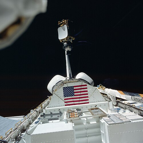
Where do satellite photos of the Earth come from?
There are 3 main types of Earth observing satellites, which consist of the following:
- Weather satellites, primarily used to monitor the weather and climate of the Earth
- Environmental Satellites, which help with monitoring the state of the environment of the Earth, by looking for changes.
- Mapping satellites, which help with mapping the entire planet.
Weather Satellites:
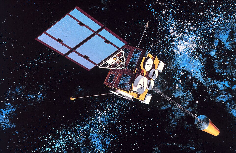
As mentioned before, weather satellites are satellites that are used primarily to monitor the weather and climate of the Earth. They come in 2 further types, a polar orbiting satellite, which will cover the entire Earth over it’s orbits, or a geostationary satellite, which will stay over the same spot, as it is locked in orbit with Earth’s rotation.
<Seen Left: Artist’s Impression of the now defunct GOES-8 weather satellite, launched in 1994, and put into a graveyard orbit in 2004.
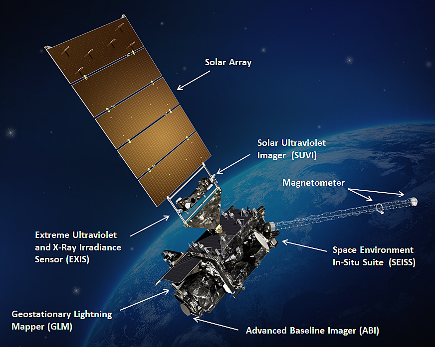
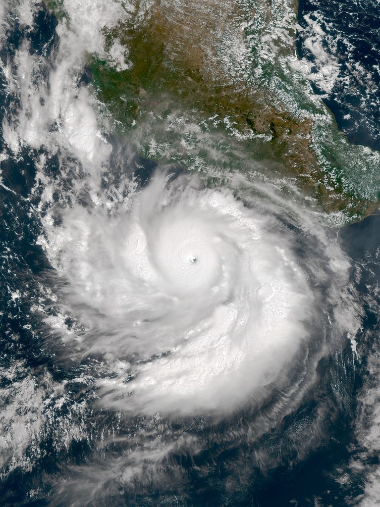
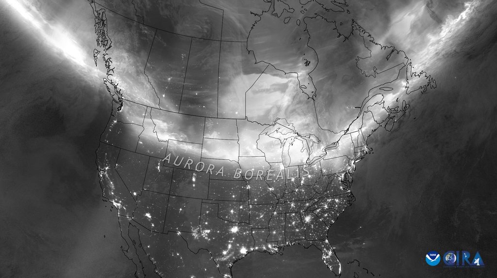
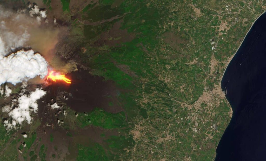
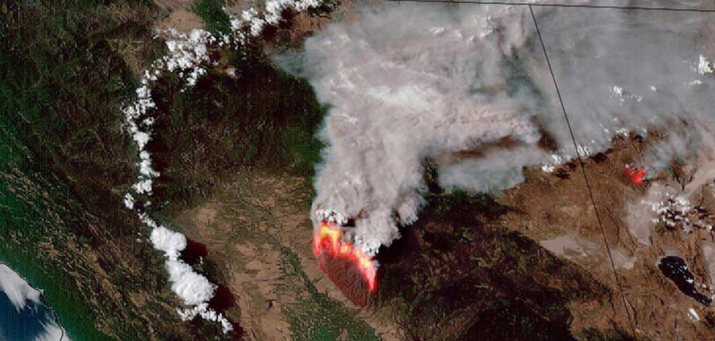
While they are primarily used to detect the development and the movement of storm systems and other cloud patterns, this is not the only thing they are capable of doing. Using their suite of instruments, as shown in the pictured right image of GOES-16, they are also able to monitor other phenomena. This includes city lights, fires, effects of pollution, auroras, sand and dust storms, tornadoes, snow cover, ice mapping, ocean currents, and energy flows.
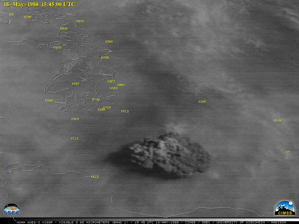
Other types of environmental information are collected using weather satellites, and have helped in monitoring the volcanic ash cloud from the Mount St Helens eruption, pictured left.
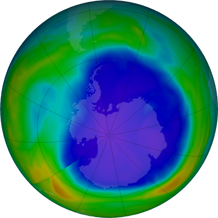
Using satellites such as NOAA-7, METEOR-3 and GOME, the ozone hole is also regularly monitored over Antarctica. Pictured right is the hole as of 22nd September 2026, which was first identified in the late 1970s, as a result of CFCs being put into the atmosphere. It’s estimated to fully recover by 2066, given current variables.
Environmental Monitoring
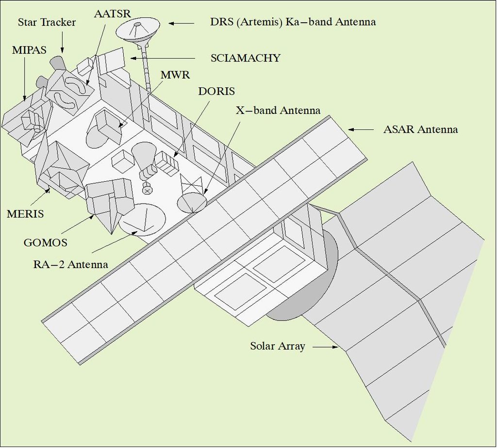
An alternative type of satellite to weather satellites, environmental satellites are very good at monitoring changes in the Earth’s vegetation, trace gas content, sea state, ocean color, and ice fields. Pictured left is EnviSat, which was a massive earth monitoring satellite, which has since become defunct in 2012. Highlighted are the instrumentation, which allowed it to study multiple areas, such as;
Atmospheric Chemistry, Ozone Depletion, Biological Oceanography, Ocean Temperature and Colour, Wind, Waves, Hydrology (Humidity, Floods), Agriculture, and Arboriculture, Natural Hazards, Digital Elevation Modelling, Monitoring of Maritime Traffic, Atmospheric Pollution Monitoring, Cartography, and Snow and Ice mapping.
It has since been replaced by the Sentinel series of Satellites.
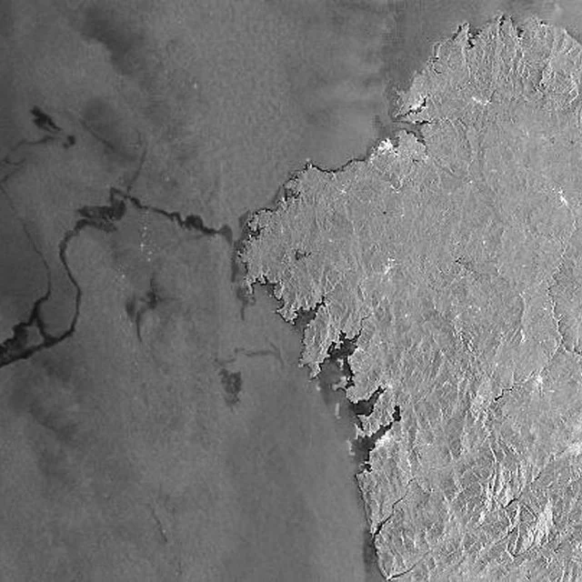
For example, in 2002, EnviSat, using it’s ASAR radar, it was able to monitor an oil spill off the North West coast of Spain. Pictured right.
These types of satellites are almost always in Sun-Synchronus, or “frozen” orbits. Sun-synchronus means that the orbit passes over a specific spot on the ground, at the same time each day, allowing for multiple passes to be easily compared, as the Sun is always in the same spot in each observation. A frozen orbit is one that is the closest possible orbit to a perfectly circular one, that is undisturbed by the Earth, Sun, Moon, pressure, and drag.
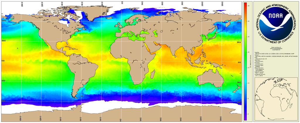
<Pictured Left: A map of Ocean sea temperature made using GOES 16 and 15.
Mapping Satellites:
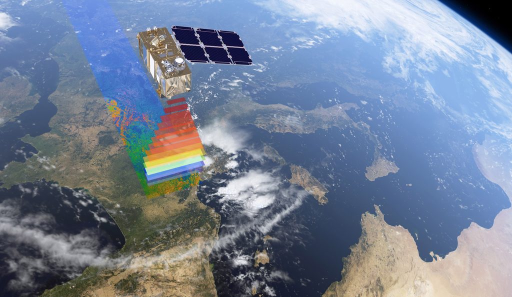
Mapping satellites, as per their name, exist for the pure purpose of helping to map the earth in amazing detail. These include mapping the Earth’s surface, but also doing bathymetry and mapping the ocean floor, using the SWOT satellite, which maps in 120km wide swathes in it’s orbit.
Leave a Reply